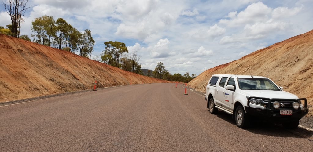
We offer precise data transfer, design model creation, site control, machine guidance file creation and monitoring, automatic auditing, field party management, and quality assurance checks for subgrade and final surface.
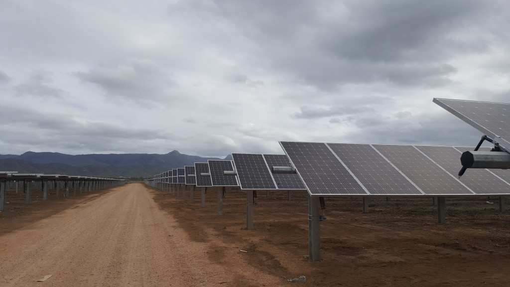
We provide a complete site mapping and surveying service using GPS & robotics for pile location, best fit analysis for as-built piles processing, and site control for precise placement of structures.